

Your VDC team built a model that has the answers. Your field crew has the questions. The problem is that the two rarely meet at the right moment. Getting BIM access to field teams during construction is a workflow question as much as a technology question, and the specifics matter a lot more than most teams plan for.
TLDR:
- Rework from information gaps costs 5 to 15 percent of total project costs, per the Construction Industry Institute
- Design-intent BIM models answer fit questions; they do not answer build-sequence or maintenance-access questions
- Four barriers block field BIM access: file size, site connectivity, per-seat licensing, and navigation training
- Field crews need 3D and 2D together; switching between separate devices loses time and spatial context
- Resolve lets field teams annotate discrepancies directly in the model, with issues syncing to ACC, Procore, and Revizto
Why Field Teams Struggle to Access BIM
BIM models are created by specialists, reviewed by specialists, and stored behind software that requires specialist training to open. By the time a project reaches active construction, the model lives on a VDC coordinator's desktop (see the VDC manager's guide for context), inside tools a foreman would never touch.
That gap has real consequences. When field crews hit something unexpected, a wall framed in the wrong location or a conduit path conflicting with structural steel, they need information fast. Instead, they wait. They submit an RFI, chase a response, and hold work or proceed on a guess. Studies by the Construction Industry Institute found that rework costs 5 to 15 percent of total project costs, with a large share tracing back to information gaps between the model and the field.
The model has the answers. The people who need them just can't get to it.
When Design Models Miss Field Needs
Revit models are built to answer design questions: what goes where, how systems relate, whether the geometry resolves. They do that job well.
What they are not built for is telling a mechanical foreman in what order to hang pipe, or showing a superintendent how tight the crawl space above ceiling grid actually feels at human scale. Design-intent models reflect what architects and engineers specified. They do not reflect how trade partners will actually build it.
On complex industrial projects, specialty contractors take those design-intent files and redraft them using the exact manufacturer equipment they plan to install. That introduces new geometry, new clearances, and new coordination problems. Even a well-coordinated federated model can be months behind what is actually being fabricated and delivered to site.
The result is a model that answers "does it fit?" but struggles to answer "can we build it in this sequence?" or "will the maintenance crew ever reach that valve?" Those questions belong to the superintendent and the trade foreman. They rarely get into the model to ask them.
The Real Cost of Poor Field-Model Connectivity
Rework that hits hardest in construction rarely traces back to bad intentions. It traces back to information arriving too late, in a format the wrong people cannot use.
A 2020 Autodesk and FMI Consulting study estimated that bad data caused $88 billion in rework globally (2020 data). That figure captures what happens when field crews make decisions without reliable model context: work gets installed wrong, torn out, and reinstalled. Schedule slips. Change orders pile up.
The disconnect compounds fast on MEP coordination-heavy projects. A pipe hanger installed before coordinated ductwork is confirmed. A conduit path that clears the model but conflicts with real fabrication dimensions. Each missed coordination moment starts a chain: RFI submitted, response waited on, work held or guessed. By the time the answer arrives, the surrounding work may already be in.
The model usually had the answer. It was not where the field could reach it.
Mobile BIM Access at the Point of Work
Tablets removed one specific requirement: finding a person before finding an answer. A foreman can pull up the federated model on an iPad in the mechanical room, rotate through the MEP systems above the ceiling grid, and confirm whether the ductwork routing matches what the crew is about to hang. No desktop required. No VDC coordinator on call.
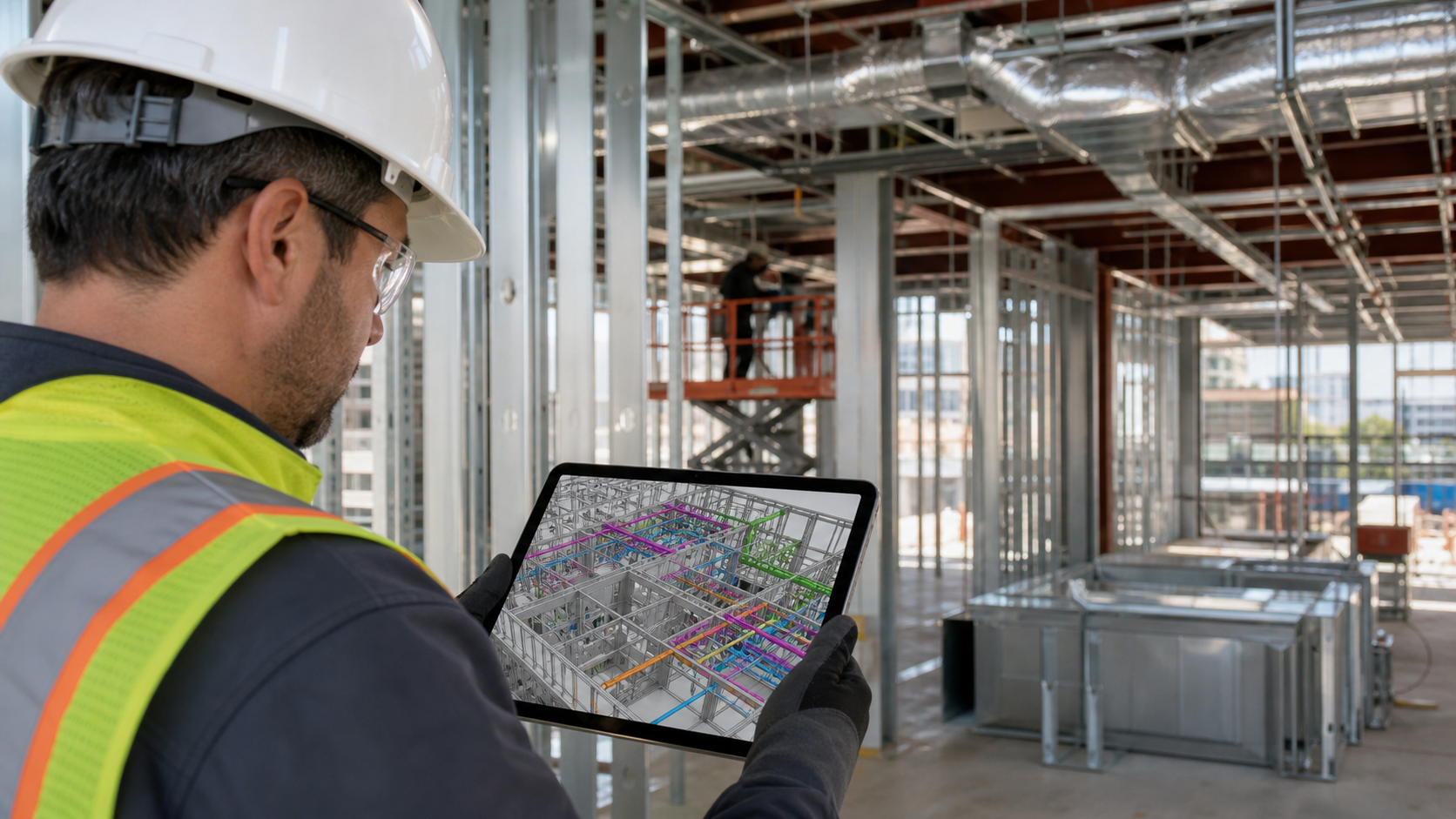
Browser-based access takes that further. When the BIM model is shareable for the jobsite via a link or an iPad app, anyone with a device can get in. Trade partners on site who have never touched Navisworks can open a live view, move to their work area, and cross-reference what they see against what is installed, a pattern covered in depth in BIM model access for non-experts. Field crews can self-serve answers that used to require a formal RFI or a screen-share session back at the trailer.
The catch is context. A field crew member who can see the model still needs to find the right location fast, understand what they are looking at, and know which systems matter for the task in front of them. Speed of access only helps when navigation is fast enough to be useful mid-task.
Why Field Crews Need Both 2D and 3D Views
3D tells you where something lives. 2D tells you how to build it.
A foreman confirming pipe routing in the federated model can see exactly how the system runs through the mechanical room. What the 3D view won't show is the installation note specifying insulation thickness, the dimension string calling out required clearance from a structural member, or the spec reference tied to that particular fitting. That information lives in the drawing set.
Crews switching between a model viewer and PDF drawings on separate devices lose time and context. On a large MEP crew, that adds up fast.
Resolve's App Portal brings both together. Field team members can access 2D documents from Procore, ACC, and BIM 360 within the same session where they're working through the 3D model. A drawing can be pulled up, pinned in the virtual space, and shared with everyone in the session at once. Spatial context and construction detail stay in the same view, on the same device.
Common Barriers to BIM Access in the Field
Getting a federated model into a field crew's hands sounds straightforward. In practice, several things get in the way.
| Barrier | Root Cause | Field Impact |
|---|---|---|
| Large model file size | Full federated MEP models can run into gigabytes | Standard BIM viewers choke without a high-spec workstation nearby |
| Site connectivity | Active job sites have inconsistent Wi-Fi | Cloud-dependent tools fail exactly when and where they are needed most |
| Per-seat licensing | BIM coordination tools are priced for specialists, not full crews | Giving access to an entire mechanical crew is not practical under that model |
| Navigation training | Tools built for VDC coordinators assume spatial fluency most field staff lack | A foreman who cannot find their work area in three clicks will stop trying |
Project teams often treat field BIM access as optional instead of planned. Licenses get purchased for the VDC team. Field staff get PDFs. By the time someone decides the field needs model access, solving file compatibility, device management, and training simultaneously under active construction pressure becomes the problem. That challenge is well-documented in specialty contractor BIM coordination.
Self-Directed Model Navigation
Most field staff who open a federated model for the first time share the same experience: a dense tangle of geometry, no clear sense of where they are, and no obvious way to isolate the systems they care about. Without a VDC coordinator steering, they get lost within seconds.
Self-directed navigation requires a few things working together:
- A minimap or overview mode to confirm spatial position in a large, multi-system model
- The ability to hide irrelevant systems so the relevant geometry is readable
- Object properties that surface without requiring BIM training to interpret, so a foreman can tap a pipe and see its size, spec, and material in one step
Resolve's AI Spatial Assist lets field users ask plain-language questions to find equipment and move directly to it inside the model, without knowing how the file is structured or which layer the relevant system sits on. That removes the dependency on a VDC guide for basic orientation tasks.
Field Discrepancies, Logged in Real Time
Finding a discrepancy is only half the work. The other half is getting that information to the right person fast enough to matter.
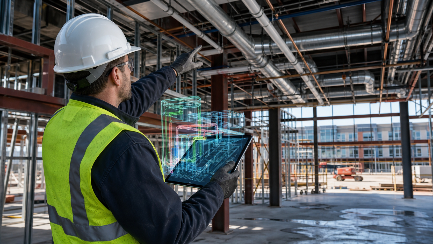
The traditional path is slow: photograph the conflict, write up an RFI, submit it through the project management system, and wait. The issue gets logged, but spatial context gets lost. It is a familiar BIM collaboration breakdown somewhere between a job site photo and a text description.
Resolve lets field teams create annotations directly inside the model at the exact location of the discrepancy. Those issues sync two-ways with ACC, Procore, and Revizto, so the VDC team sees a model-linked flag instead of a free-floating report. The location, the affected element, and the crew's note all travel together. Resolution moves faster when the problem arrives with its own coordinates.
Field-to-VDC Coordination
Field feedback that arrives after a design decision is locked costs more than it saves. A superintendent who spots a maintenance access problem during construction is six weeks too late if the surrounding systems are already installed. Running a constructability review in VR earlier changes that calculus.
Cross-device collaboration changes that timing. A superintendent in VR, a trade partner on a browser link, and a VDC engineer at their desk can occupy the same model simultaneously. When the superintendent flags an issue, the VDC engineer sees it in context, not in a text description submitted three days later. The annotation travels with coordinates, with full spatial context attached.
Shared issue logs remove the translation step between field and office. When annotations created on site sync directly to ACC, Procore, or Revizto, the VDC team works from the same record the field produced. No reentry, no version mismatch. The issue carries its model location, the element it references, and the crew's note in one package.
How Resolve Connects Field Teams to BIM
Resolve connects field teams to the model without requiring them to become BIM specialists first.
The Wellington Engine loads full-size federated models on wireless Meta Quest headsets, no PC tether, no downsized geometry. A superintendent can walk through a mechanical room at human scale, exactly the kind of BIM review VR coordination that changes what gets caught, spot a clearance problem, and flag it before a single hanger goes in. Trade partners join the same live session from a browser link, no download required. VDC engineers can be at their desk. Everyone sees the same model, at the same moment.
AI Spatial Assist handles navigation as described above.
Across a large portfolio of construction projects, including hyperscale data centers, pharma facilities, and complex hospital builds, the pattern holds: field access to the model earlier changes what gets caught and when.
Making BIM Accessible to Field Teams
Most of the rework your crews deal with traces back to one thing: the right information arriving too late. When your field team can pull up the model, find their work area fast, and log a conflict with spatial context attached, that cycle breaks. Try Resolve free.
FAQ
What software should my construction team use to review 3D models on iPad, web, and VR together?
Resolve supports simultaneous cross-device access: a superintendent in a wireless Meta Quest headset, a trade partner in a browser link, and a VDC engineer at their desk can all occupy the same federated model at the same time. No downloads or BIM training are required to join from web or iPad, which matters when you need field crews and specialty contractors in the same review without a setup burden.
How do I give field teams BIM access during construction without requiring VDC coordinator support for every session?
The main obstacles are file size, navigation complexity, and tool licensing, not device availability. Tools that render full federated models on tablets and wireless headsets, combined with plain-language model queries, let foremen and trade crews find their work area and check conditions without waiting for a coordinator to guide them. Resolve's AI Spatial Assist lets field users ask questions in plain language to locate equipment and reach the relevant area directly, removing the dependency on a specialist for basic orientation.
What tools help reduce rework costs on data center construction projects?
Rework on MEP-heavy projects like data centers most often traces back to coordination gaps that passed both 2D review and automated clash detection: clearances that only register as dangerously tight at human scale, equipment blocked by surrounding work, sequences that made sense in the model but fail in the field. Immersive model review, where field crews and VDC teams walk the model before work is installed, catches that class of issue while there is still time to act. Resolve has supported hyperscale data centers, pharma facilities, and hospital builds with that workflow.
Can a facilities manager review a building model without a BIM expert in the room?
Browser-based and tablet access let facilities managers open a live model view without installing BIM software or knowing how the file is structured. AI-assisted navigation removes the need for a specialist to guide orientation. Resolve's AI Spatial Assist answers plain-language questions about equipment location and system layout, so a facilities manager can review maintenance access and clearances independently, before handover.
How can AI help construction teams interrogate complex BIM models during coordination?
AI tools trained on model geometry can answer questions about equipment location, system routing, and spatial relationships without requiring the user to know how the file is organized or which layer holds the relevant geometry. In Resolve, AI Spatial Assist lets field participants ask where a piece of equipment is, what systems run through a given space, or what risks exist in an area, and the model responds directly. That extends model understanding beyond the BIM specialist to the superintendents, trade foremen, and facilities staff who need it during active coordination.
It's time to build in months, not years.